 by
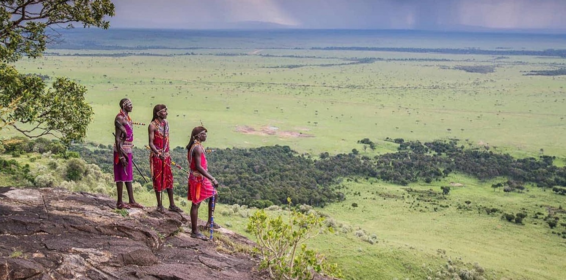
by Researchers from Aarhus University are involved in finding sustainable ways for wildlife and indigenous lifestyles to survive in the Maasai Mara savannah in Kenya. Traditional fieldwork among the population is one way to do it, working with big data from satellite surveillance is another way.
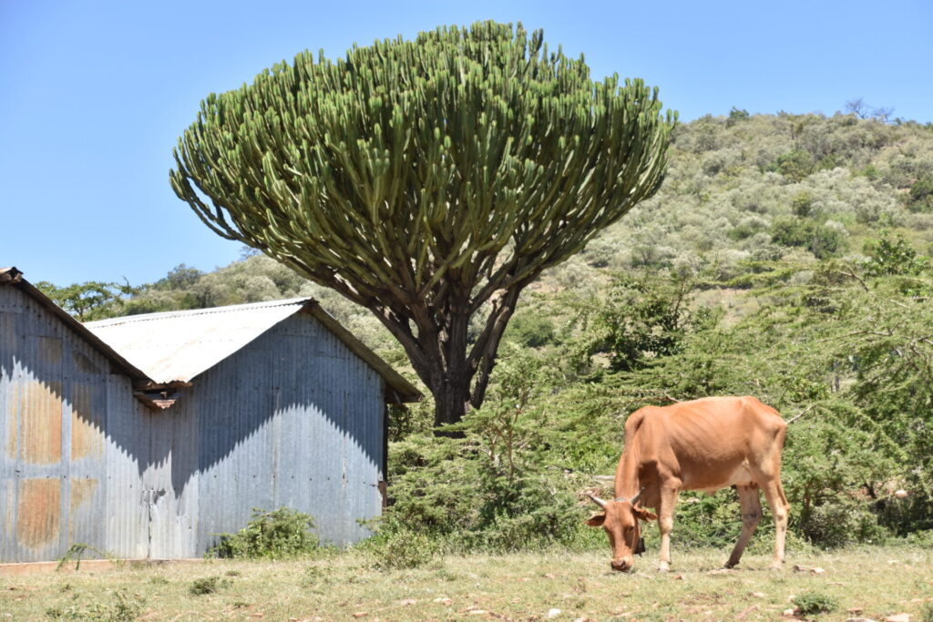
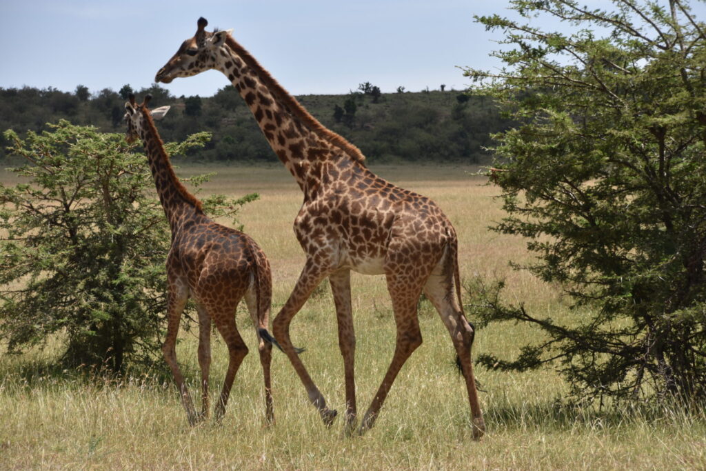
In Masai Mara, a broad savannah turned national park in South Western Kenya, local landowners have built a great number of fences recently, dividing the area into smaller plots. These fences have serious consequences for the wild animals of the savannah and for the lifestyle of the Maasai people living there as well.
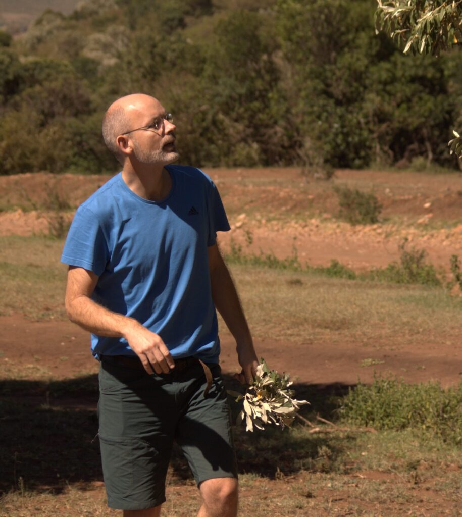
Professor Jens-Christian Svenning is a Danish biologist from Aarhus University. He has studied biodiversity in tropical areas for several decades, and for the last ten years he has frequently done fieldwork in Maasai Mara. Only when he and a group of colleagues from the South and North surveyed the fence-building trend with the help of free surveillance data from satellites, did it become possible to describe how dramatic and damaging the changes were. The message got through to the political leaders in the capital city, Nairobi, and they recently began trying to stop the trend. Aid money from the U.S. is now given with the precise purpose of removing some of these fences again.
”It’s enormously important to keep the global perspective and use the big data we have. But at the same time it’s important to study focus areas in which we, in a detailed way, describe what is going on. Both are important for academics like us in our efforts to understand reality. But it is also important for local people in Maasai Mara. Their destiny is not only decided by local decisions, but also by global trends like climate change, developments in global trade etc.”, Jens-Christian Svenning explains.
Originally, as a young biologist, he worked mostly with basic research. His PhD-thesis about palm trees in the jungle of Ecuador was almost entirely basic research.
”But today we have a biodiversity crisis. We have a climate crisis, which we don’t take seriously enough. We have a lot of people aiming at getting a reasonable life on this planet. I have to say that today maybe only half of my time goes to basic research and the other half goes to applied research”.
Jens-Christian Svenning underlines that the initiative to begin surveying the fences in Maasai Mara by satellite came from his group’s South partners from Nairobi University and local NGOs with whom they have already had a series of very concrete collaborative research projects through more than ten years.
An initiative for sustainability
It all began when a Danish Zoo working closely together with the Maasai ethnic group’s organization for livestock management, asked Aarhus University to enter a collaboration in defining how to develop Maasai Mara in a sustainable way, keeping it as a functional ecosystem for both traditional pastoralism and its spectacular wildlife.
”They felt there was a need for applied and problem-solving research to inform management towards greater sustainability. For the sake of biodiversity – and for the sake of the local Maasai communities. We decided to join the project out of pure interest. In the beginning we had no funding”, Jens-Christian Svenning says. “To be effective and have good governance, we jointly set up the Maasai Mara Science & Development Initiative (MMSDI) as our platform for this collaboration between stakeholder organizations and the involved universities from Kenya and Denmark”, he adds.
Now a broader, international ”research hub” has been set up which integrates the diverse research institutions from several countries that are active in Maasai Mara. Local NGOs, local universities and the regional government are involved.
“We (MMSDI) took part in the initiative when the research hub started along with other international researchers, but the main coordinators are Kenyans employed by a local NGO. They are in the lead when it comes to coordination, and they propose what new areas need to be the object of research. Where can we, as researchers, contribute?”.
“Our satellite surveillance project started there as part of our MMSDI work. Traditionally, the land is under joint ownership, but twenty years ago a part of the area was defined as a national park, and the rest was privatized as individual properties. Therefore, some of the land owners began building fences in order to control their land lots, e.g., keeping the sparse grazing for their own cattle. This issue was raised as a key problem by our local collaborators.” In Jens-Christian Svenning’s words, fencing gives a ”fragmentation and division” which is very bad for wild animals by making migration impossible as well as for traditional pastoralism, which also depends on being able to move animals across the landscape.
”We contributed with the satellite-based analysis which showed that the trend has strongly accelerated within the last few years. Satellite-based surveillance programs such as from the European Space Agency gives data down to a resolution of ten meters, updated as frequently as every fourteen days everywhere on the globe”, Jens-Christian Svenning explains.
”We had the technical equipment, and we knew the methods. Of course we did it in close cooperation with our Kenyan colleagues and local stakeholders. With this tool and proper training, anybody will be able to survey Maasai Mara in detail in the future, if they have the capacity. But that capacity is constituted by experience and methodology. The computers must of course have a certain size, but apart from that you don’t need expensive equipment”.
”Without any doubt, we played a major role via our expertise in this field. However, we also invested in capacity building e.g., via training courses and via our general collaboration, and I see much potential for local stakeholders and universities to leverage remote sensing as a powerful tool for monitoring and research in the future”. Overall, remote sensing as a research tool has important potential for Global South researchers, as key data sources are free and they allow for big-picture, fast data on key issues such as environmental degradation and climate change impacts.
”How much this potential will be realized of course depends on developments much beyond our project, notably national and international investment in relevant education and training in remote sensing. Even if you work with capacity building in a local project, it won’t have much impact if the need for learning these techniques are not taken up on the national level. We are able to contribute a little, but we cannot solve the problem”.
”This said, I would also highlight that I see research collaboration and exchange visits as a powerful way to enhance capacity building, from learning concrete skills to broader themes related to how to structure research groups to foster ambitious, creative science”.
”Notably, I personally see the relatively non-hierarchical system in Denmark as a key strength in promoting the development of new ideas. It helps us a lot and I think it can offer inspiration for researchers from around the world”, Jens-Christian Svenning says.
Jens-Christian Svenning underlines that he and AU researchers are also themselves contributing via research beyond remote sensing, notably interdisciplinary fieldwork among and with the Maasai people. An important part of the project has been a large sociological survey about local peoples’ wishes to nature management of the area, depending on whether they are farmers, landowners, tourism workers or other professions. Here, researchers from South and North went into the field together to distribute question forms and convince people to participate. ”There was also a lot of capacity building in that”.
Botanical roots
Jens-Christian Svenning comes from a research community at the current Department of Biology at Aarhus University with a long tradition for working in the Global South, especially in tropical areas.
For instance, there is a very old collaboration between botanists in Aarhus on the one side and colleagues in Thailand and Ecuador on the other side. That was in itself an ”enormous capacity building”, Jens-Christian Svenning says, long before that expression first became a buzzword – and later a contested issue.
”If you visit the department of biology at the university in Quito, you will find that many of the researchers have done their PhD in Aarhus”.
”My current research group, ’Section for Ecoinformatics and Biodiversity’, has its roots in the old botanical institute’s systematic work with species in Ecuador, Thailand and other tropical countries. We have always worked in the Global South, both in South-East Asia, Africa and South America. It was one of the reasons that I applied to study here”.
“I still see Global South research as an extremely relevant focus area; it’s where very much of the planet’s biodiversity is concentrated; it’s where most people live and most population growth occurs; and it’s where human-driven climate change will lead to most extreme warming, with potentially disastrous consequences”, explains Jens-Christian Svenning. “The dynamics in this region is essential for the Earth’s future as a biodiversity-rich, liveable planet, albeit of course strongly coupled and influenced by dynamics in the Global North, not least our resource use. At the same time, there is huge potential to develop solutions and foster positive development via collaborative research. Finally, I also want to highlight that working with the Global South offers many important opportunities to take a fresh look at how things work in our own countries and what we could do better – for example, I always find it inspirational to see how the people in Maasai Mara work to realize human-wildlife coexistence to a level much beyond what we have achieved in Denmark”.